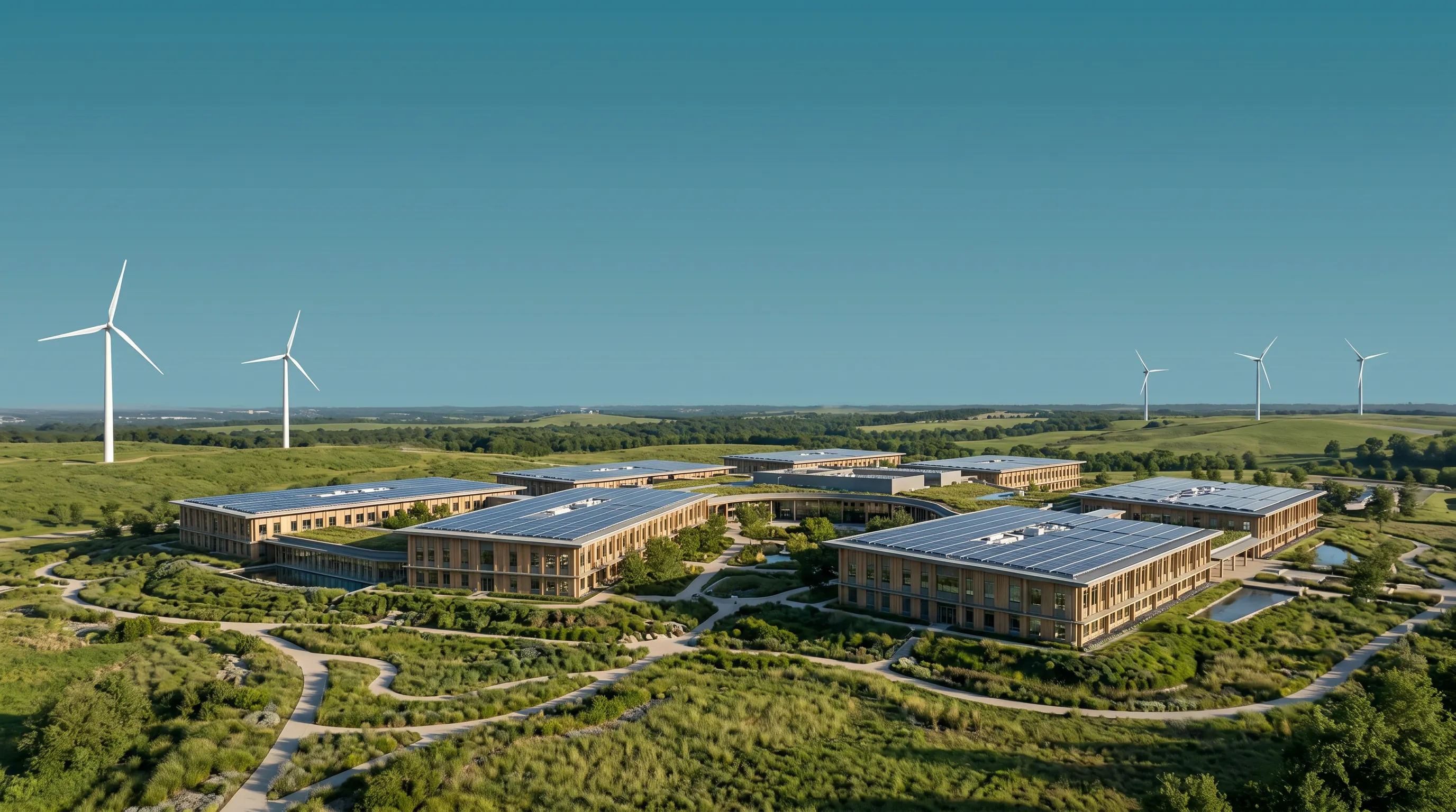
Sustainable data center campus shown within a broader American landscape

Map U.S. data centers—and communities pressing pause.

Explore publicly mapped facilities, source-backed environmental evidence, and local data center moratoria in one searchable view.

This map separates what is publicly located from what is environmentally verified.

Facility points come from an open national atlas. Environmental colors require separate facility-level evidence. Community colors reflect the legal status of local moratoria. Every classification links back to a source, and unknown evidence remains visible as gray.

Read the classification method

Map the evidence.

Explore 1,382 public facility records and 164 active or proposed community actions. Results on the map and in the list use the same filters.

Facility layer: public IM3 repository build · Community layer: Moratorium Nation v2026.04.2 · Reviewed July 2026

Verified lower-impact evidenceSource-backed energy, water, efficiency, or certification evidence.
Documented higher-impact evidenceA facility-specific adverse condition documented in a public record.
Insufficient facility evidenceNot a negative rating; public evidence is incomplete or not site-specific.
Active community restrictionA moratorium or temporary ban is active or formally extended.
Proposed community restrictionA moratorium is pending or proposed but not in force.

1,546 matching records

AlaskaHawaiiPuerto Rico

Evidence before color.

The map is designed for screening and research—not certification, endorsement, parcel analysis, or final legal due diligence. Conservative rules reduce the risk of turning missing disclosures into unsupported judgments.

Green requires evidence

A green marker needs at least two meaningful indicators, including one facility- or region-specific indicator: strong PUE, applicable clean-energy matching, lower-water or reused-water cooling, operational LEED Gold or stronger certification, or verified local watershed action.

Red requires a facility-specific condition

A red facility marker requires an official record documenting a material higher-impact condition—such as an environmental enforcement action, operation outside normal permit limits with potential standards exceedance, primary fossil generation, or another substantiated adverse finding.

Gray protects against unsupported claims

Most facilities begin gray because public energy, water, emissions, and certification evidence is incomplete or applies only at the portfolio level. Gray means insufficient facility-level evidence, not poor performance.

Community actions use legal status

Red community markers are active or extended moratoria. Orange markers are pending proposals. Expired, replaced, and rescinded instruments remain in the source dataset but are not shown as current restrictions.

Records are not a definitive census

The PNNL/IM3 atlas preserves point, building, and campus records from OpenStreetMap. Some overlap; some locations are missing. The page reports public map records rather than claiming a complete count of distinct operating campuses.

The Good Neighbor Data standard.

Use the map to identify the next question, then verify the current facility, utility, environmental, permitting, and local-government record. A marker is a research signal—not a substitute for project-specific review. Accountability over slogans.

Bring the project context.

Discuss a project